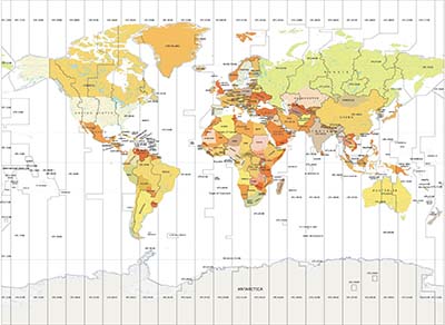
Solomon Islands Latitude and Longitude Map
Latitude & Longitude
Latitude and longitude of Solomon Islands is -8.240657 degrees S and 157.199929 degrees E.
Map showing the Latitude and Longitude of Solomon Islands. Latitude and Longitude of Solomon Islands is -8.240657 and 157.199929 respectively. Below is a list of Cities of Solomon Islands with Latitude, Longitude and Population.
Latitude Longitude of Solomon Islands
Map showing the Latitude and Longitude of Solomon Islands. Latitude and Longitude of Solomon Islands is -8.240657 and 157.199929 respectively. Below is a list of Cities of Solomon Islands with Latitude, Longitude and Population.
List of Latitude and Longitude of Solomon Islands Cities | |||
|---|---|---|---|
| Capital | Latitude | Longitude | Population |
| Honiara | -9.433005 | 159.949987 | 60,275 |
| Lata | -10.715911 | 165.833373 | 18,912 |
| Auki | -8.766361 | 160.699975 | 122,620 |
| Noro | -8.240657 | 157.199929 | 3,482 |
| Tulagi | -9.101194 | 160.147312 | 21,577 |
| Taro Island | -6.708759 | 156.395978 | 20,008 |
| Buala | -8.165687 | 159.619281 | 20,421 |
Airports Map
- Aachen Airports
- Aalborg Airports
- Aalesund Airports
- Aasiaat Airports
- Abakan Airports
- Abbotsford Airports
- Altenrhein Airports
- Yangyang Airports
- Yanji Airports
- Yankton Airports
- Yantai Airports
- Yaounde Airports
- Yaounde Airports
- Yaounde Airports
- Yap Caroline Islands Airports
- Yapsiei Airports
- Yari Airports
- Yarmouth Ns Airports
- Yaroslavl Airports
- Yasawa Island Airports
- Yasouj Airports
- Yasuru Airports
- Yateley Airports
- Yavarate Airports
- Yaviza Airports
- Yazd Airports
- Ye Airports
Oceania Map
- Australia Lat Long Map
- Papua New Guinea Lat Long Map
- New Zealand Lat Long Map
- Fiji Lat Long Map
- Solomon Islands Lat Long Map
- French Polynesia Lat Long Map
- New Caledonia Lat Long Map
- Vanuatu Lat Long Map
- Samoa Lat Long Map
- Guam Lat Long Map
- Kiribati Lat Long Map
- Tonga Lat Long Map
- American Samoa Lat Long Map
- Northern Mariana Islands Lat Long Map
- Palau Lat Long Map
- Wallis and Futuna Lat Long Map
- Tuvalu Lat Long Map
- Nauru Lat Long Map
- Niue Lat Long Map
- Tokelau Lat Long Map


